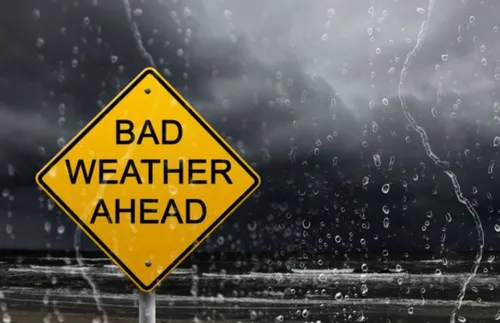
A powerful cut-off low pressure system is expected to bring widespread cold, wet, and disruptive weather conditions across parts of the Western Cape and Eastern Cape from Wednesday into Thursday, according to the South African Weather Service (SAWS).
The system, combined with a ridging surface high-pressure system, will markedly affect the central and western interior of South Africa, with the most severe impacts expected over the Cape provinces and adjacent interior regions. SAWS cautioned that the system will generate widespread rainfall, strong winds, and a sharp drop in temperatures, with conditions posing risks to life, infrastructure, and transport networks.
Severe Weather Warning
SAWS warned that rainfall linked to the system is expected to become widespread midweek, particularly across the Garden Route District and parts of the Eastern Cape. The anticipated rainfall may lead to localised to significant flooding of susceptible areas, including roads, bridges, low-lying settlements, and river crossings. Fast-flowing streams and rivers may pose a danger to life, while major transport routes could be affected by flooding and poor visibility.
Authorities have urged motorists and residents in affected areas to avoid unnecessary travel during peak rainfall periods and to never attempt to cross flooded roads or bridges. SAWS also flagged the possibility of light snowfall over elevated terrain in parts of the Cape provinces due to significantly dropping freezing levels.
Possible Snowfall Areas
The service said snowfall could occur over elevated areas, and travellers and communities in mountainous areas are nevertheless advised to remain informed of forecast updates, as conditions could change. Alongside rainfall and cold conditions, SAWS warned of strong winds and rough sea conditions along the south-western and southern coastline of the Western Cape.
These conditions may make navigation hazardous, particularly for small vessels and recreational watercraft. SAWS has issued an Orange Level 5 warning for disruptive rainfall, indicating a high risk of severe impacts. Disruptive rainfall resulting in danger to life, flooding of roads and bridges, rapidly flowing streams and rivers, and possible closure of major roads is expected.
- Eastern parts of the Garden Route District
- Areas stretching between Plettenberg Bay and East London
A Yellow Level 2 warning has also been issued for additional areas, where localised flooding of settlements, roads, low-lying areas, and bridges is expected. SAWS has called on the public and authorities to remain on high alert and take precautionary measures ahead of the system’s arrival.
For more information on the weather warning, visit the Government of South Africa website for updates and advisories. Residents are advised to monitor official updates and follow evacuation instructions from local authorities if necessary.